- EMAIL:DERUITE@VIP.126.COM;
- TEL:0086-29-82258180
- MOBILE/WHATSAPP +86-15319950123
Beidou implements the management and dispatching of agricultural machines
The Beidou positioning terminal, combined with multiple high-precision sensors, can realize the automatic management and dispatch of agricultural machinery. Automatic positioning of agricultural machine requires real-time tracking and monitoring of the position of agricultural machinery, to understand the status of agricultural machine at any time. The dynamic distribution of agricultural machine within the administrative division (province, city, autonomous region, district) is analyzed by macrostatistics, to analyze the use efficiency and cultivation according to the working season. Agricultural machine installed the GINSS terminal to get the position, then through the GPRS link, geographical location, driving condition, speed, the direction of the agricultural machine, base station information, and other data will be sent to the server. After the calibration of the background data system, the data will be displayed on the platform and will show the real-time location of the agricultural machine on the map.

Besides, this Beidou-based management and dispatching system of agricultural machine also supports the tracking of trajectory------ learning the real-time or historical running track of agricultural machinery. Through trajectory analysis, people can learn the operation of agricultural machinery in detail, calculating the operation area and landing data. The system uses the positioning data of agricultural machinery to form a trajectory, which can not only be depicted together to show the overall driving operation but also be played point by point or across points to simulate the driving route at that time.
Graphic information collection

1. Function description
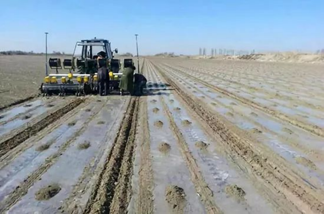
Real-time image acquisition of the agricultural machinery started in front can help to effectively understand the operation type of agricultural machinery, mounted machinery, land weather conditions, and other information. This has become a powerful measurement of real-time monitoring and a necessary mean of area measurement.
2. Function realization
When the farm machine is at the starting status, the operator can take real-time photos through the camera module of the equipment terminal. The GSM network of the device is used to transmit the image to the image server. If the signal is unstable and the image transmission fails, the device will automatically save the image and delay the transmission until the signal recover. The image server will restore every uploaded image of each farm machine, serving customers or other functions (job statistics, etc.).
Crop area calculation

1. Function description
The system will automatically calculate the farming area of each farm machine every day by monitoring and tracking. On this basis, classification statistics can be carried out according to any period and any number of vehicles. This function provides important reference for the operation and management of agricultural machinery cooperatives and decision-making supervision of agricultural units and reflects the advanced place of agricultural informatization.
2. Function realization
The system can accurately calculate the actual farming area of agricultural machinery by combining the obtained agricultural machinery trajectory positioning data and agricultural machinery image information with the calculation method of agricultural machinery working area based on time series statistical data analysis and unit integral approximation algorithm. Its working principle is similar to the mu meter, but the accuracy is higher, and the interference factors of the non-farming driving track of agricultural machinery can be eliminated by the corresponding algorithm. At the same time, the agricultural machinery and land weather information provided by the image information can be combined for more accurate classification calculations.
Subsoiling detection

1. Function description
Deep loosening is loose soil layer without turning over the soil layer, keep the original soil layer is not a kind of soil tillage method, do not disturb the soil layer, not only can make the upper part of the soil layer maintain a certain degree of firmness, reduce the adverse effect of multiple plowing on the aggregate structure, but also can break the bottom of the flat plow formed by the share plow. Intelligent deep loosening detection is a feature specially developed for deep loosening operations, which can automatically and accurately detect whether the depth of deep loosening operation is up to standard. The fully automatic working mode is different from the previous manual detection, which saves labor and material resources.
2. Function realization
According to the multi-source sensors installed on the agricultural machinery equipment, the relevant data such as the power torque of the agricultural machinery will be uploaded to the server. According to the above data combined with the occurrence time of deep loosening operation, the system will determine whether the agricultural machinery is in the state of deep loosening operation. If the farm machine is performing a deep loosening operation, the image acquisition function will be automatically opened. According to the intelligent image recognition system, combined with the humidity and viscosity of the soil, the system will calculate the depth of deep loosening operation according to a specific algorithm, and calculate the operation area after the operation.